Devon Reed · 5 October 2026
Youth Drone Mapping Project Charts Hidden Underwater Habitats Near Bluffs
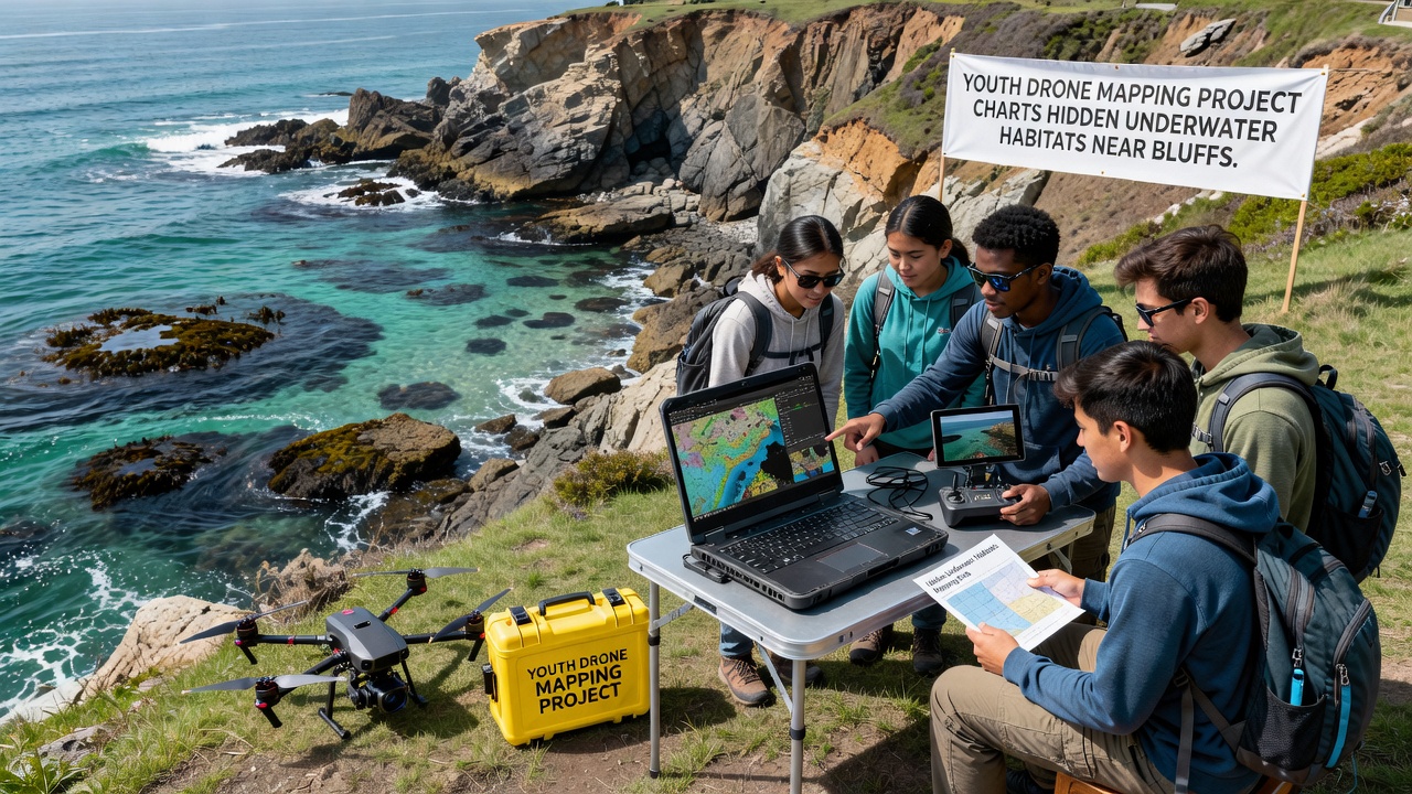
Local youth groups launched a drone-based mapping initiative that has identified previously undocumented underwater habitats along the bluffs, and the effort combines aerial surveys with sonar attachments to produce detailed charts of submerged rock formations and vegetation zones. Participants collected data throughout the summer and fall periods while researchers from regional institutions provided technical training on equipment calibration and data processing techniques.
The project began with classroom sessions on marine geography and drone operations, then moved to field deployments where teams flew equipment at controlled altitudes to capture overlapping images that software later stitched into comprehensive maps, and these maps revealed clusters of kelp beds and shellfish beds tucked beneath overhangs that standard boat surveys had missed. Data processing occurred at a central facility where students cross-referenced drone imagery against historical charts from the National Oceanic and Atmospheric Administration to confirm new features.
Project Methods and Equipment
Teams used lightweight drones fitted with downward-facing cameras and compact multibeam sonar units that recorded depth and substrate type while flying parallel transects spaced at ten-meter intervals, and operators adjusted flight paths in real time to account for wind gusts coming off the bluffs. Software converted raw sonar returns into three-dimensional models that highlighted variations in seafloor elevation, which allowed identification of crevices and ledges supporting diverse marine life.
Training emphasized safety protocols and regulatory compliance with federal aviation guidelines, while local marine biologists reviewed preliminary outputs to ensure accuracy of habitat classifications, and students learned to filter out surface glare and sediment plumes that could obscure bottom details in the captured footage.
Key Findings from the Surveys
Maps generated by the project documented several patches of eelgrass and sponge gardens that extended farther offshore than previously recorded, and these areas appeared in zones where bluff erosion had deposited fine sediments that created suitable attachment points for sessile organisms. Analysis showed higher densities of juvenile fish species around the newly charted structures compared with adjacent open sand flats.
One survey leg conducted in October 2026 captured seasonal changes in canopy cover as water temperatures dropped, and the time-series data allowed comparison with earlier flights from the same year to track shifts in vegetation extent. Researchers noted that such repeated passes provide baseline information for tracking longer-term responses to coastal processes.
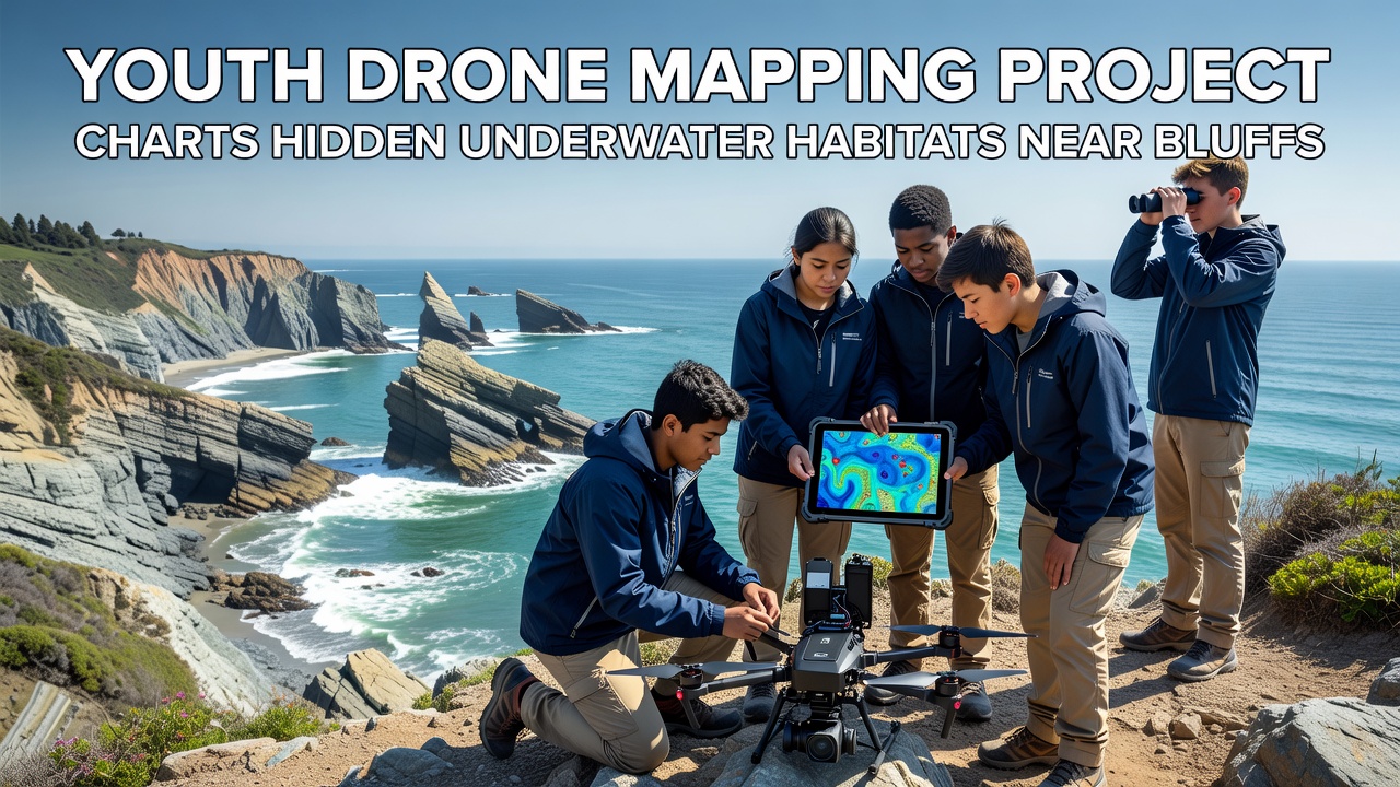
Integration of the new maps with existing datasets from NOAA marine habitat surveys highlighted gaps in prior coverage near steep underwater slopes, and project leads shared the updated layers with regional planning offices for use in erosion modeling. Students presented preliminary results at a community forum where attendees reviewed printed map sheets and asked questions about access restrictions around sensitive sites.
Additional flights incorporated multispectral sensors that distinguished between different algal types based on reflectance patterns, and this added layer helped classify habitats according to dominant species rather than broad categories alone. Data files were archived in an open repository so other groups could build upon the work without repeating initial survey efforts.
Youth Training and Community Involvement
High school and college participants rotated through roles that included flight planning, equipment maintenance, and post-processing, which gave each person exposure to multiple stages of scientific fieldwork, and mentors from nearby universities supplied guidance on statistical validation of the habitat classifications. Several students later incorporated the datasets into independent research projects submitted for science competitions.
Local residents contributed observations of surface conditions on days when flights occurred, and these anecdotal notes helped explain occasional data anomalies caused by recent storm activity or boat traffic. The collaborative approach kept the project grounded in both technical precision and practical knowledge of the shoreline dynamics.
Broader Applications and Data Sharing
Updated habitat maps have been incorporated into regional coastal management databases where they support modeling of sediment transport patterns along the bluffs, and planners now reference the drone-derived layers when evaluating proposed stabilization measures. Similar youth-led initiatives in other regions have produced comparable results when adapted to local conditions.
Project coordinators submitted summary reports to marine research institutions for cross-comparison with surveys conducted in comparable temperate zones, and the exchange of methodologies has informed refinements to flight parameters and sensor settings for future seasons.
Conclusion
The youth drone mapping effort continues to expand its coverage area while refining data collection protocols, and ongoing flights scheduled for the coming months will add seasonal layers to the existing habitat charts. The resulting datasets remain available for use by scientists, educators, and coastal managers who seek current information on underwater features near the bluffs.