Jonas Frank · 21 September 2026
Local Researchers Investigate Intertidal Zone Biodiversity Changes Over Decades
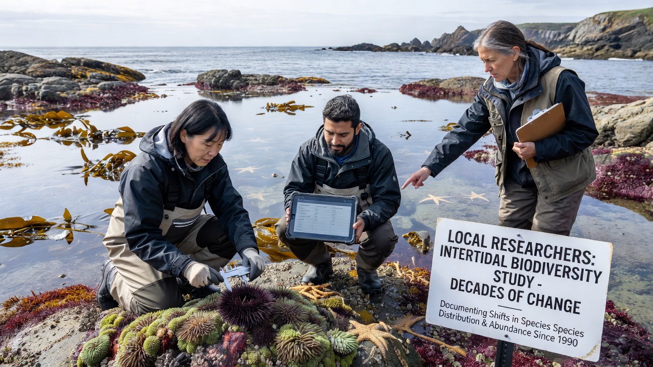
Teams from the Fair Harbor Marine Research Center have tracked intertidal zone biodiversity for more than thirty years, documenting shifts in species composition along the rocky shores and tide pools that define the local coastline. Their work combines annual surveys with archived records dating back to the 1990s, creating a continuous dataset that reveals gradual yet measurable changes in the distribution of algae, mollusks, crustaceans, and small fish.
Methods Behind the Long-Term Monitoring
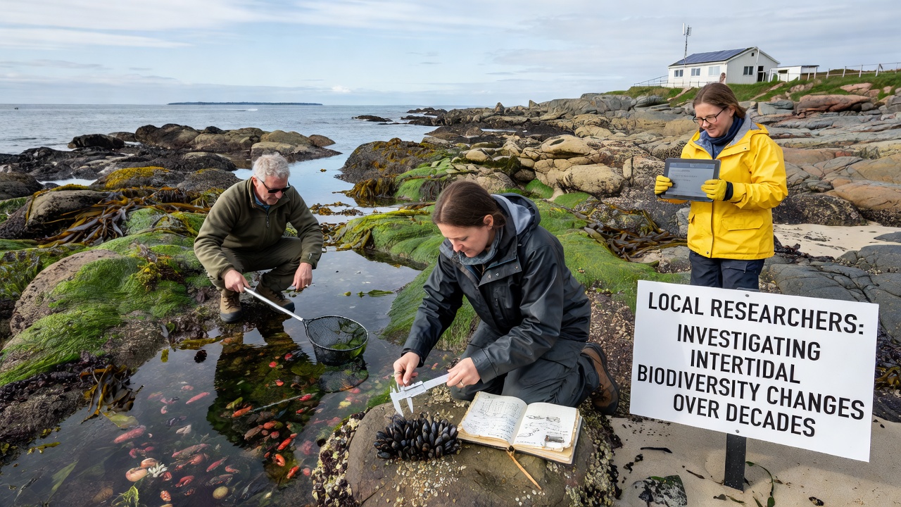
Researchers divide the intertidal area into fixed transects marked by stainless steel bolts, then conduct counts during spring and neap tides each season. They record abundance, size classes, and presence of invasive species while noting temperature, salinity, and wave exposure at each station. Quadrat sampling at multiple elevations allows comparison across decades, and the team cross-references field notes with photographs taken at the same coordinates every September. By 2026 the archive contains more than 180,000 individual observations, stored in a public database that other institutions can access for regional comparisons.
Observed Shifts in Species Patterns
Data collected between 1994 and 2025 show a decline in the cover of canopy-forming rockweed in the mid-intertidal zone, while turf-forming algae have increased at the same elevations. Mussel beds have contracted at lower tidal heights, and several species of periwinkle snails now appear at higher shore levels than they did in the early records. Temperature loggers placed in tide pools record average summer highs that are 1.8 degrees Celsius warmer than readings from the first decade of monitoring, correlating with the observed movement of southern-affinity species into the area. In September 2026 the team added drone-based multispectral imaging to map changes in algal canopy density across a wider stretch of shoreline, supplementing the ground surveys that have formed the core of the program.
Connections to Regional Data Sources
Findings align with broader patterns reported by the National Oceanic and Atmospheric Administration in its coastal ecosystem assessments, which track similar temperature-driven range expansions along the Northeast shelf. NOAA intertidal monitoring summaries provide context for local results, showing that Fair Harbor trends fall within expected variability for the mid-Atlantic region. Researchers also reference work from the European Marine Board on macroalgal responses to warming, using those reports to interpret the local increase in opportunistic turf species. The combination of site-specific counts and these larger datasets helps distinguish between localized factors such as nutrient runoff and larger-scale climate influences.
Community Involvement and Data Sharing
Local volunteers trained in identification protocols assist with spring surveys, expanding the number of transects that can be completed during each low-tide window. High-school students from the Fair Harbor district participate in summer field days, learning quadrat techniques and data entry while contributing to the ongoing record. Results are presented each winter at the town library in an open meeting where residents can review maps and graphs showing species turnover. The center also supplies raw counts to the state Department of Environmental Conservation for inclusion in estuary health reports, ensuring the information feeds into wider management decisions about shoreline protection and water quality standards.
Future Directions for the Project
Beginning in 2027 the team plans to install continuous pH sensors alongside existing temperature loggers, addressing questions about ocean acidification effects on calcifying organisms such as barnacles and limpets. They are also testing environmental DNA sampling from water collected in tide pools to detect species that are difficult to count visually. These additions build on the existing framework without disrupting the long-term consistency that makes the dataset valuable. Collaboration with a university laboratory in Nova Scotia will allow genetic comparison of mussel populations across the Gulf of Maine, adding another layer of resolution to the biodiversity record.
Conclusion
The decades-long effort at Fair Harbor demonstrates how repeated, standardized observations can document incremental changes in intertidal communities. By maintaining consistent methods while incorporating new tools, the researchers continue to build a record that supports both local decision-making and contributions to larger regional analyses. The project remains active, with the next full survey scheduled for the spring of 2027.