Devon Reed · 7 September 2026
Coastal Bluff Zoning Proposals Draw Attention to Erosion Control Measures
Coastal communities have faced increasing pressure from bluff erosion in recent years, and zoning proposals now under review aim to address those challenges through updated land-use rules and reinforced control strategies. Data from the US Geological Survey indicates that erosion rates along many bluff-lined shores have accelerated since 2010, with some areas losing several feet of land annually due to wave action, storms, and changing precipitation patterns. Those who've studied these shorelines note that older zoning frameworks often permitted development too close to unstable edges, leaving structures vulnerable when bluffs recede. Local planning boards have introduced new zoning language that sets stricter setbacks from bluff crests, requires geotechnical assessments before permits are issued, and limits hardscaping in high-risk zones. These measures seek to balance property rights with long-term shoreline stability, and public comment periods have drawn input from engineers, property owners, and environmental groups. Hearings scheduled for September 2026 will allow further review of draft maps that designate erosion hazard areas based on updated lidar surveys and historical retreat data.Understanding Bluff Erosion Dynamics
Bluff erosion occurs when waves undercut the base of steep coastal slopes, gravity pulls material downward, and surface runoff carves channels that accelerate collapse. Researchers at institutions such as the University of California have documented how groundwater seepage weakens bluff faces, making them more susceptible during heavy rainfall events. Evidence shows that vegetation loss from development or drought removes natural anchors, while rising sea levels allow higher tides and more frequent wave contact with toe slopes.
Take one study that tracked a California bluff system over two decades and found average annual retreat of 0.8 meters in unprotected segments compared with 0.2 meters where vegetation buffers remained intact. Observers note similar patterns in the Northeast and Great Lakes regions, where freeze-thaw cycles add mechanical stress to already saturated soils. Those patterns explain why zoning updates now emphasize both structural setbacks and non-structural approaches that preserve or restore natural slope stability.
Key Elements of the Proposed Zoning Changes
The draft ordinances establish tiered buffer zones measured from the top of the bluff, with the innermost tier prohibiting new construction and requiring removal of certain existing accessory structures within a defined timeframe. Outer tiers allow limited development only after site-specific engineering reports demonstrate that the structure will remain safe for its intended lifespan, typically calculated at 50 to 75 years under projected erosion scenarios. Accessory rules address drainage, requiring that stormwater be directed away from bluff edges through vegetated swales or infiltration systems rather than concentrated outlets.
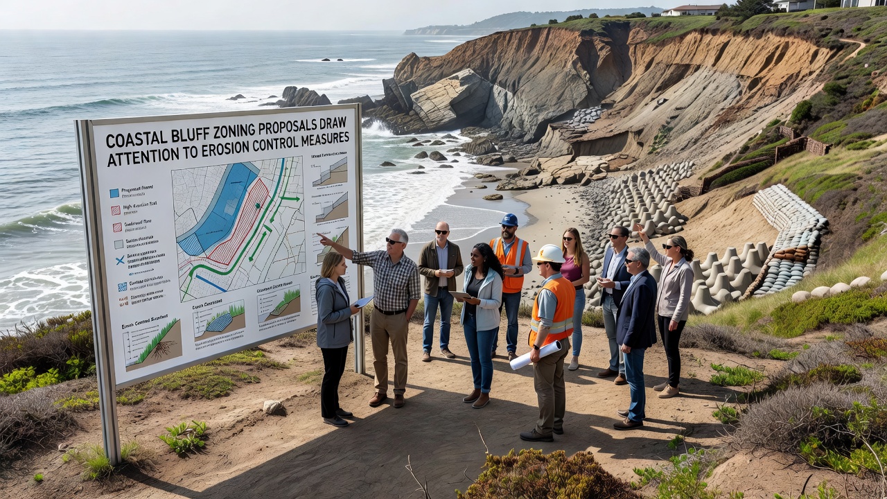
Another provision mandates that property transfers include disclosure of bluff hazard ratings derived from county mapping, and real estate listings must reference those ratings so buyers understand maintenance obligations. Planners have also incorporated provisions for adaptive management, allowing the county to adjust buffer widths every five years based on new monitoring data without requiring full ordinance rewrites. Those who've attended preliminary workshops report that the language attempts to avoid one-size-fits-all prescriptions by permitting case-by-case variances when peer-reviewed studies support alternative designs.
Erosion Control Measures Under Consideration
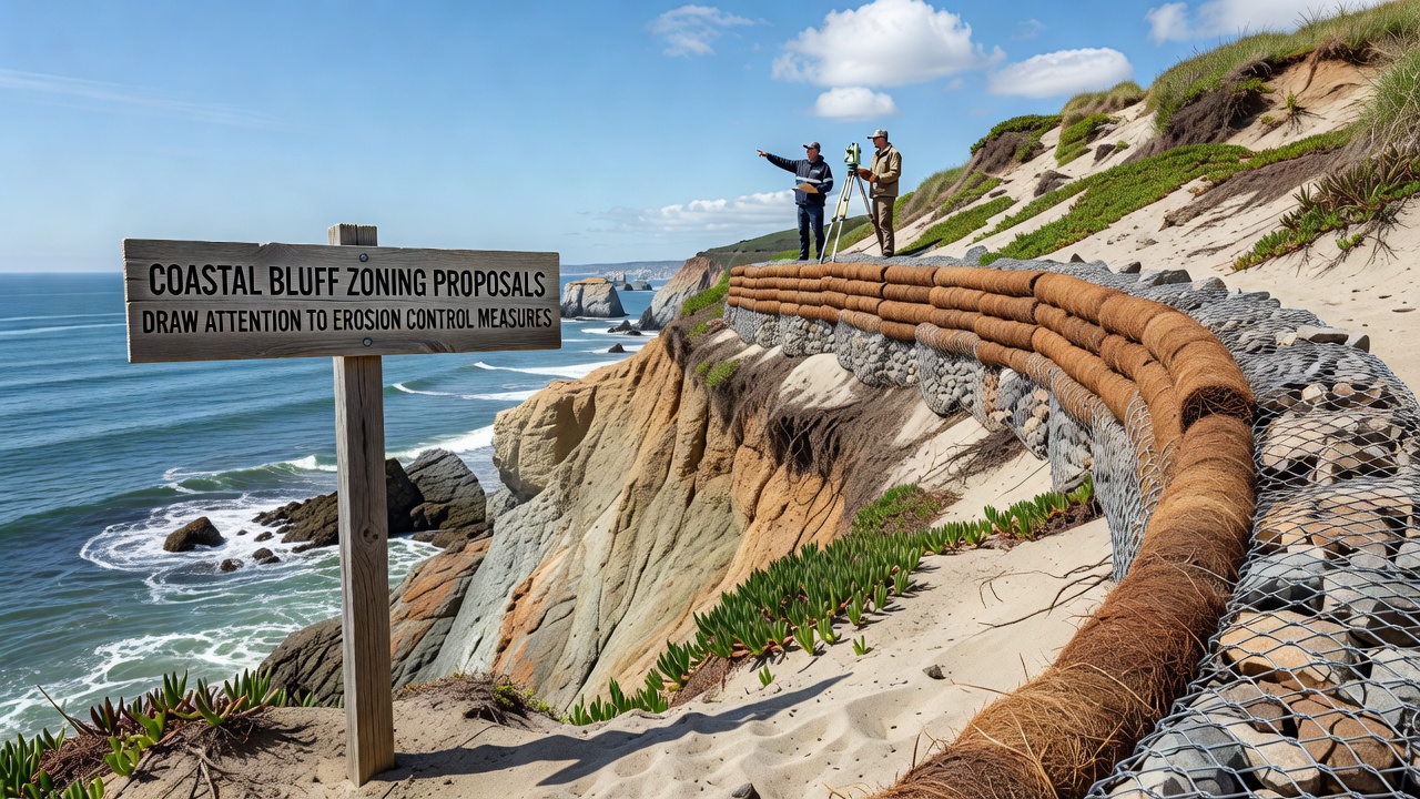
Control techniques discussed range from bioengineering methods such as willow staking and coir log terraces to more engineered solutions like anchored retaining walls and rock revetments placed at the bluff toe. Data indicates that hybrid approaches combining native plantings with limited hard armor often reduce retreat rates while maintaining habitat value, whereas purely hard structures can accelerate erosion on adjacent parcels by redirecting wave energy. County guidelines now favor techniques that maintain some slope permeability so water does not build hydrostatic pressure behind rigid walls.
One pilot project completed last year installed a series of vegetated benches on a 12-meter bluff face and recorded a 60 percent reduction in surface rilling after the first winter storm season. Engineers continue to monitor pore-water pressures and slope movement with inclinometers to quantify performance over multiple seasons. Those results will inform whether similar designs receive expedited permitting under the new zoning framework.
Community and Economic Considerations
Property owners along designated bluff corridors have expressed concerns about reduced buildable area and potential declines in assessed values, while real estate analysts note that homes with documented erosion protection plans have maintained market appeal in comparable jurisdictions. Local governments have begun exploring grant programs that offset costs for qualifying homeowners who implement approved stabilization plans, drawing on federal coastal resilience funds administered through the National Oceanic and Atmospheric Administration. Those programs require matching contributions and post-project monitoring reports submitted annually for at least five years.
Businesses that rely on coastal access, including fishing operations and tourism operators, have followed the proposals closely because bluff failure can close trails and launch ramps for extended periods. Economic modeling conducted by regional planning agencies estimates that avoided damage to infrastructure could reach several million dollars over a 30-year horizon if the zoning updates succeed in steering new construction away from the most active retreat zones.
Conclusion
Coastal bluff zoning proposals continue to evolve as communities integrate new monitoring data and engineering research into regulatory language. The September 2026 hearings will provide additional opportunities for refinement before final adoption, and ongoing projects will test which control measures deliver the most durable results across varied geologic settings. Updated maps, disclosure requirements, and adaptive review cycles form the core of the framework that local agencies hope will reduce future losses while preserving the character of bluff-top neighborhoods.